 Help Center
Make local coordinate transformations easily
With the coordinate transformation tool you can create your own local coordinate file for Xsite® machine control systems and Xsite® PAD.
Xsite® MANAGE provides a powerful tool to create local coordinate transformations. Coordinate transformation tool is suitable for mines and construction sites which doesn’t use any national coordinate systems.
The new coordinate transformation – Features
- Import coordinates from external measuring devices
- Insert coordinates manually
- Edit residuals attributes
- Add or remove coordinate pair
- Convert latitude and longitude in DD, DMS and DDM
- Save the local transformation file to the cloud platform
- Download local transformation file
- Visualize coordinate pairs on map
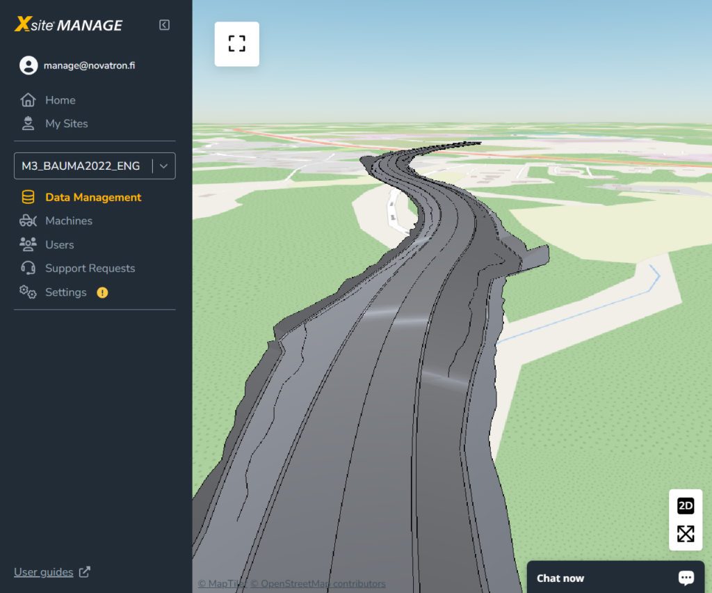
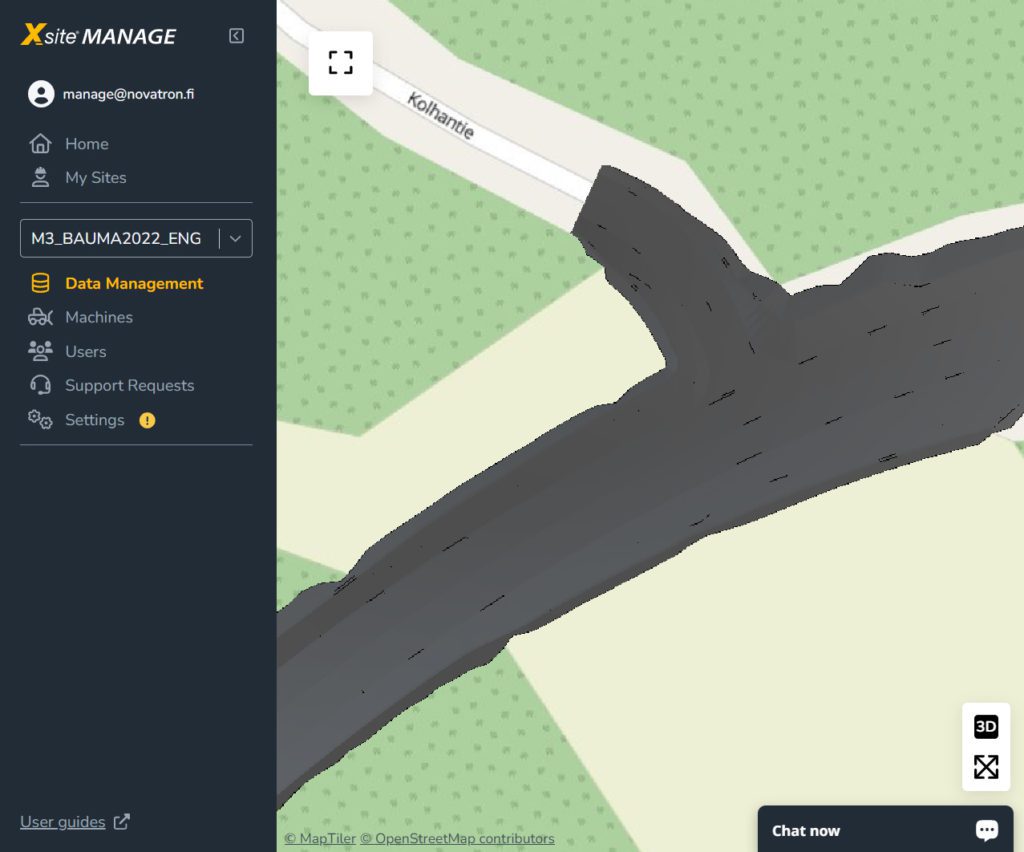
Switch between 2d and 3d in map view
We have boosted the viewer navigation with 2D view to navigate exactly where the surface model is located on the map.
how to get started with Xsite® MANAGE
GET STARTED guide will help you to administrate construction projects, machines, users and the data management seamlessly.
Before sign up. Please contact your local Xsite® dealer to connect your parent organization and user account in the Xsite® MANAGE. Preconfiguration will streamline the user experience of first time login.